BGEO took advantage of its participation in the 11th Free SIG Conference organized in Girona to show the potential that open source GIS technology can offer to municipalities. The exhibition focused on the case of Lliçà d’Amunt and on three functionalities that have made it possible to significantly improve municipal management: public transport, collection of urban waste and animal census.
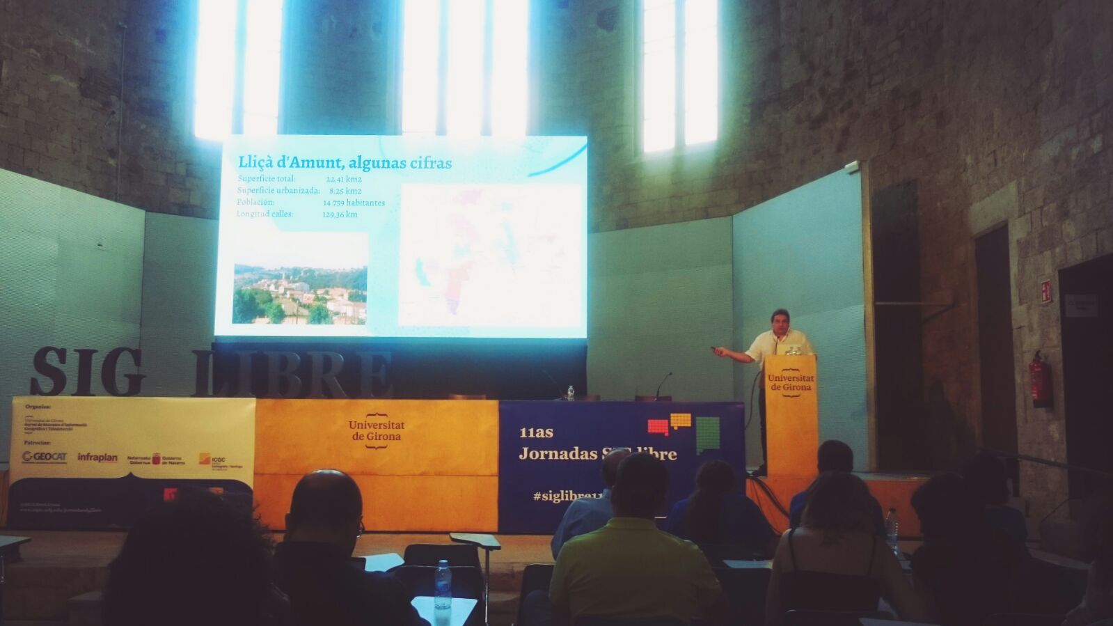
City councils sometimes have difficulties in understanding what short-term benefits can be gained by incorporating GIS technology into their management of resources. To break with this pre-established idea, BGEO took advantage of its presence at the Girona Free SIG Conference to put the case of Lliçà d’Amunt on the table. This municipality of the Vallès Oriental has managed in a short time to make an extraordinary profit to its QGIS platform and in very different areas.
The first area is the optimization of public transport, and more specifically, urban bus lines. Thanks to a layered information structure, a function has been programmed in PostGIS that allows to calculate the optimum point of installation of each stop based on the distance and the population volume of each zone through which the bus passes.
The second case was the collection of urban waste. This municipality performs the direct management of waste collection and has a fleet of vehicles monitored with sensors that collect the movements and actions they perform as container loading. The information from the sensors was collected only by the company that supplied them (MOBA). Their database has now been synchronized with a PostgreSQL-PostGIS database, and a QGIS plugin has been programmed to display the position data of the different vehicles and the evolution of the routes that follow. QGIS also analyzes and visualizations are made, such as heat maps of the action of the sweepers, that allow to manage service effectively.
And finally was explained the project of updating the census of companion animals. In this case the person who tours the municipality collecting data has been provided with Fulcrum technology. This allows, due to the synchronization of the respective databases, to have on the QGIS map the information of the respective visits and optimize the collection of the information that is still missing.
They are only three of the many applications that the city council of Lliçà d’Amunt is deploying thanks to the system GIS in open source installed by BGEO.