QGIS
Geographic information system
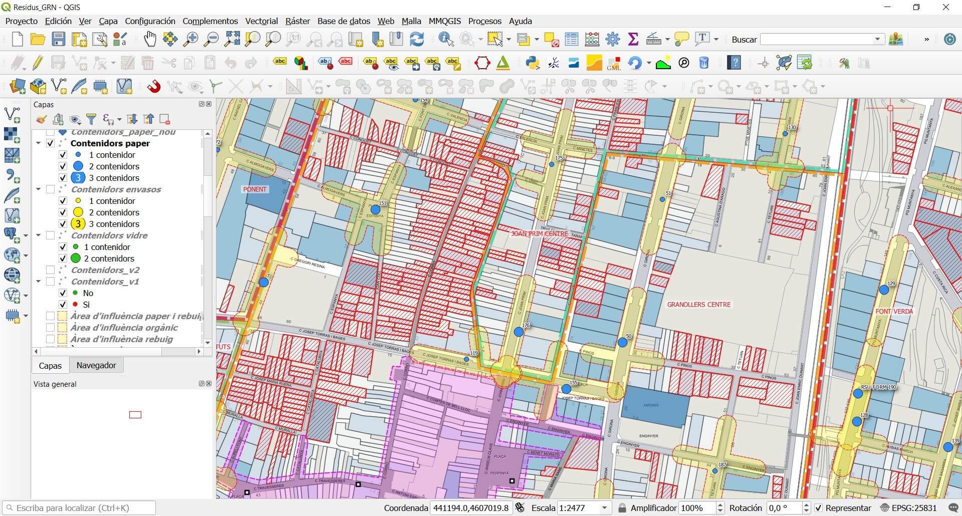
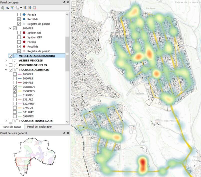
QGIS is a free and open source geographic information system for GNU / Linux, Unix, Mac OS, Microsoft Windows and Android.
The maturity of free software technologies in the field of geographic information systems has allowed these versatile technologies to penetrate a wide segment of professionals hitherto unknown to them. In this context, training and consulting appear as a need in which our company has been working for some time.

KEY FEATURES OF QGIS
Open source GIS Programs: They are characterized by their professionalism, with a wide variety of tools for uploading, viewing, editing and analyzing data.
Open source: They can be modified and downloaded freely, as well as used with various operating systems.
The gvSIG and QGIS projects: Both allow you to create, edit, view, analyze and publish geospatial information on Windows, Mac, Linux and Unix systems.
It allows to manage raster formats: Like GRASS GIS, GeoTIFF, TIFF, JPG, with software in open and free code.
It allows vector formats: Like Shapefile, ArcInfo coverages, Mapinfo, GRASS GIS, through GDAL and OGR libraries.
Interconnection: Ease of interconnection with many geospatial databases such as PostGIS, SpatiaLite, ORACLE Spatial and others.

Contact us to learn more about QGIS
Contact us and we will arrange a visit to show you the tool.
