The Water Geographic Information System (GIS) of the Instituto Costarricense de Acueductos y Alcantarillados (AyA), developed within the framework of the RANC-EE project, continues to advance as a reference platform for managing geospatial information related to users, infrastructure and water supply networks.
The platform brings together, within a single environment, georeferenced information on users, infrastructure and water supply networks, along with the system’s hydraulic model. This makes it possible to link cartographic and operational information with the hydraulic behaviour of the network. This integrated approach facilitates the consultation, updating and analysis of information to support management and planning processes.
The solution is based on an ecosystem of open-source geospatial technologies combining QGIS, Giswater, QWC2, GeoNode, QField and PostgreSQL/PostGIS, providing an interoperable and scalable platform for information management.
The system currently supports a range of management processes, as well as network asset inventory and updating activities, helping to improve the availability and quality of geographic information within the institution.
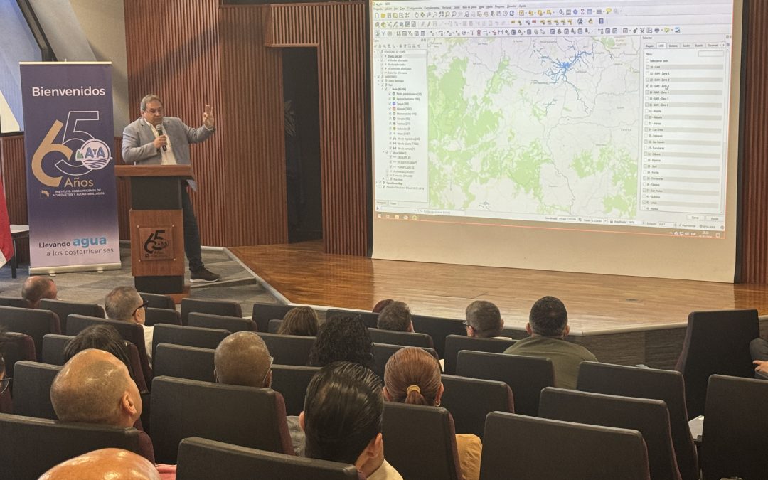
At BGEO, we have contributed to the design and implementation of this solution together with INORCA and AyA’s technical team. During the production launch presentation, held in March this year, our managing partners, Xavier Torret Requena and Josep Lluís Sala, had the opportunity to present the project’s main technical aspects and the work carried out throughout its different development phases. We would also like to highlight the contribution of engineer Jorge López Quesada, whose dedication has been instrumental throughout the project.
We would like to thank AyA, the RANC-EE project team and everyone involved in this initiative for placing their trust in our team and in open-source geospatial technologies to strengthen the management of water-related information and infrastructure.