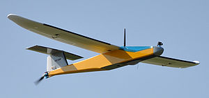
The 6 of november 2015 BGEO organized jointly with CATUAV, a firm specialized in the Telecommunication through unmmaned aircraft (drones) a special event about Geographic Information System applied to Drone’s world.
Nowadays, the technological revolution that we are living is breaking many paradigms. Very sofisticated technologies are continuously more available to all. In our current society, the high cost of those technologies and licences doesn’t reprezent anymore a problem to access them but its necessary today to invest more on knowledge ressources and training. The currently evolution that the Drones world is living combinated to the best and high mature Open source Geographic Information System (GIS) permit to develop unlimited capacities that havent been explorated yet.
In this context, we have elaborated a special course that aimed to explore the work’s potentialities of the Geographic Information System applied to the Drones sector. Hence, we have done a workshop who was adressed to all persons interested in the passionated world of Drones and GIS program or to those who wanted to improve their competence on those fields as for example professionals, technicians, engineers or architects.

